Hurricane Forecasters Say Another Storm Could Soon Follow Hurricane Erin
As Hurricane Erin pulls away from the East Coast and heads out to sea, forecasters are also watching the next weather disturbance in the Atlantic Ocean, a developing tropical wave that could become Tropical Storm Fernand (pronounced fair-NAHN) in the days ahead.
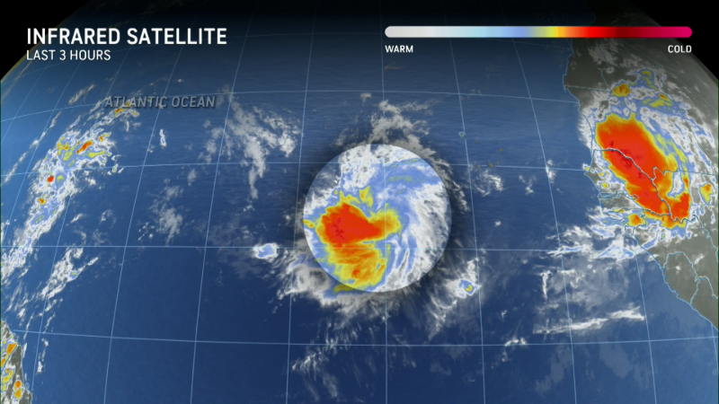
It's one of three developing systems the National Hurricane Center is tracking in the Atlantic on Aug. 21.
According to the Aug. 21 morning report from the hurricane center, "an area of showers and thunderstorms associated with a tropical wave located a few hundred miles east of the Leeward Islands has changed little over the past several hours."
The system is marked by the red "x" on the map below.
However, the NHC added that "environmental conditions appear conducive for further development of this system, and a tropical depression is likely to form this weekend while it moves near or to the north of the northern Leeward Islands."
If the depression's winds reach 39 mph, it would be named Tropical Storm Fernand, the sixth named storm of the 2025 Atlantic hurricane season.
"Although the Atlantic will stay active into the latter half of August, for now we don’t see any significant land threats from the systems being monitored," noted WPLG-TV hurricane specialist Michael Lowry in his Substack post.
As for the system that's likely going to be Fernand, Lowry said "the disturbance that’ll be moving near and north of the Leeward Islands of the eastern Caribbean tomorrow (Aug. 22) has a high chance of development and will likely become our next named storm but will be turning quickly out to sea.
Indeed, for now, the majority of computer forecast models suggest this system will eventually curl north, then northeast into the central Atlantic Ocean next week, potentially a threat to Bermuda, depending on when it makes that northward turn, according to a forecast from Weather.com.
It's too soon to determine what impact, if any, the system would have on the beaches along the U.S. East Coast that have been battered by Erin.
But before it heads out to sea, "it will bring squally weather and increased storminess to the northeastern Caribbean islands, including Puerto Rico and the U.S. Virgin Islands, tomorrow (Aug. 22) and Saturday (Aug. 23) but isn’t expected to develop until after it pulls away this weekend," he said.
The system will first impact the two U.S. territories in the Caribbean: The National Weather Service in San Juan said "across the Virgin Islands, ponding of water in roads is anticipated with isolated urban flooding. For Puerto Rico, urban and small stream flooding are likely along the interior and northwest, with ponding of water elsewhere."
Meanwhile, far out in the Atlantic, Lowry said the disturbance designated Invest 99L (orange x on the map) will be battling high wind shear for the next few days along with some drier air over the weekend, and anything that forms will likely be short-lived. The NHC agrees, noting on the morning of Aug. 21 that "showers and thunderstorms associated with a tropical wave located several hundred miles west-southwest of the Cabo Verde Islands show some signs of organization."
"Environmental conditions appear marginally favorable for additional development over the next day or so while the system moves west-southwestward at around 15 mph, and a short-lived tropical depression could form.
"In a couple of days, environmental conditions are expected to become unfavorable for further development," the hurricane center said.
A small area of low pressure located about 1,200 miles southwest of the Azores (yellow x on the above map) is producing limited showers and thunderstorms on Aug. 21, the hurricane center said. "Upper-level winds are only marginally conducive for development while the system moves slowly eastward over the next couple of days."
Beyond these systems, "unfavorable upper-level wind conditions are expected to kick up this week over the Atlantic’s Main Development Region, and the end of August and first week of September should be relatively quiet in the tropics," said Ryan Truchelut. Truchelut is the chief meteorologist at WeatherTiger, and works with the USA TODAY Network.
Popular Products
-
 Portable Motorcycle Waterproof Wirele...
$73.99$50.78 -
 Sports Water Bottle Large Capacity fo...
$73.99$8.78 -
 Medical Compression Socks for Varicos...
$98.99$68.78 -
 Open Toe Compression Stockings for DV...
$90.99$62.78 -
 Athletic Compression Socks - 3 Pairs
$34.99$23.78